
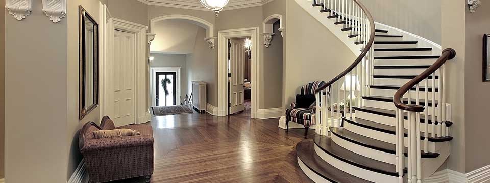

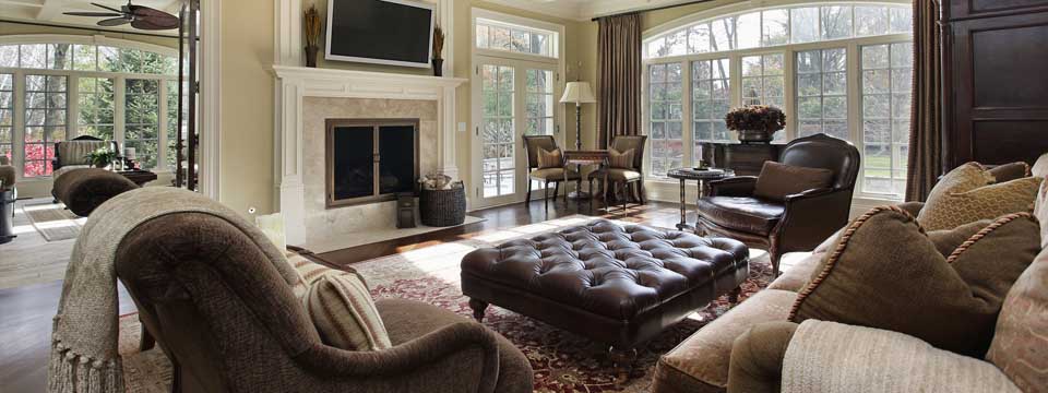
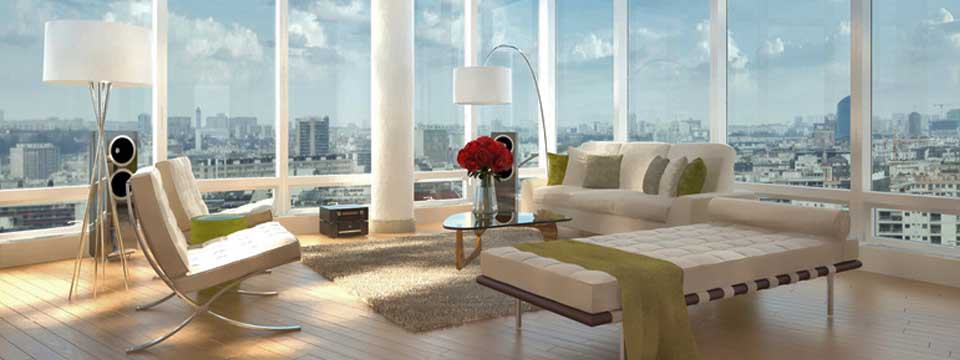
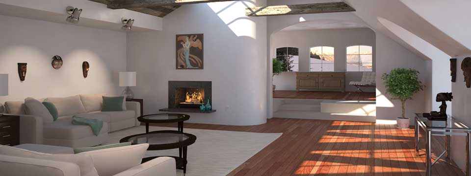
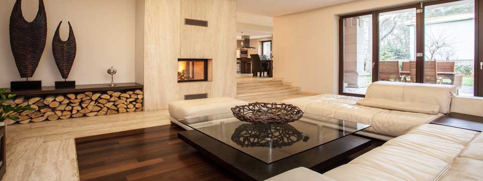
Unionville Real Estate & Homes for Sale

Unionville, Ontario
From Wikipedia, the free encyclopedia
Unionville is a suburban village in Markham, Ontario, Canada. It is located 33 km northeast of downtown Toronto and 4 km east of southern Richmond Hill. The exact boundaries of Unionville are a matter of some debate, as it is not a municipal entity, and has had an interesting and chequered history. The Wards comprising Markham have well-defined boundaries,and it is felt by many that the term Unionville should only be used to refer to dwellings within Ward 3 of Markham.
However, Unionville originally was founded north of 16th in 1794, and many of the farms on and around Woodbine Ave. on its western edge considered themselves part of Unionville. The Unionville Ratepayers Association designated a relatively new road, Rodick Road, as its western boundary, when it was founded in the 1980s. Main Street, which was Kennedy Road in the mid-to-late 20th century, runs through Unionville while the new Kennedy runs 300 m to the east.
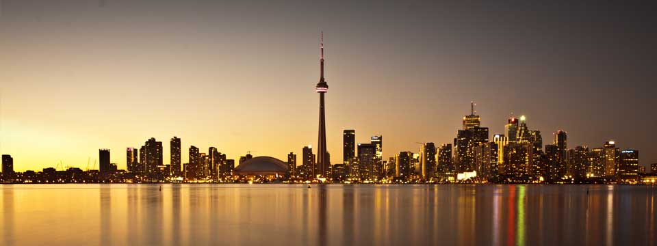
The population of Unionville is presently about 30,000. Unionville is composed of many neighbourhoods including the historic centre of Unionville, South Unionville, Angus Glen, Cachet and Berczy Village. Unionville is said to be one of the most affluent areas in the Greater Toronto Area with an average household income of $127,900. Rouge River runs north of the central part of Unionville and to the southeast. The highway (Highway 404) is to the west, the nearest interchange with the Highway 407 is 2 km south on Kennedy Rd. The population lives in almost all parts of Unionville except for the south central industrialized area, which is now slated for massive intensification, under the name "Markham Centre". The railway line which links the area to Toronto via GO Transit Service actually ran to Coboconk (67 miles NE) in 1872, with a 27-mile branch line from Whitchurch-Stouffville to Jackson's Point. It now only runs to Whitchurch-Stouffville. GO Transit took over passenger operations in 1982.
Tourism is a major part of Unionville's economy. The historic village or downtown section of Unionville is typical of a small town that developed over a century or so starting in the early 1840s (when Ira White erected his Union Mills) through the middle to late 20th century. The historic Main Street Unionville attracts thousands of visitors each year — as of 2006 it boasted 9 restaurants, including 3 pubs. Main Street (originally the laneway from the village's first grist mill) also has a number of "century homes" dating back to the 19th century. Each year, thousands visit Unionville during the Unionville Festival.
The main street has been used as a stand-in for fictional Connecticut town Stars Hollow during the first season of Gilmore Girls television show, as well as other television and movie backdrops.
Most of the historic buildings in Unionville are included in List of historic buildings in Markham, Ontario.

Culture
The Unionville Festival was first organized in 1969 to raise awareness and money to fight the provincial plan to run a four lane road up the middle of the town and thus destroying it. An interest in history, spurred by the Canadian Centennial Year in 1967, awoke the longtime residents and the new subdivision residents. Slowly, local politicians got on board, and a plan was drawn up to divert the road to the east of the historic town center (now known as Kennedy Road). Today the festival continues to offer visitors access to handcrafts, small vendors and community groups. Virtually none of the businesses from the mid-20th century still exist, having been replaced by restaurants and tourist outlets.
The Unionville Business Improvement Area and its merchants, organize and operate numerous, year-round, admission free, festivals and events. The Merchants of Main Street Unionville BIA is the business association on Main Street Unionville, composed of volunteers from the business community, who work to preserve and promote the historical village of Unionville.
The Unionville BIA's Heritage Committee has seen its volunteers research and produce a self-guided walking tour. They also offer the official walking tours of Main Street Unionville.

Events
Unionville has a number of regular events ongoing throughout the year. Dates for these can be found on the relevant web sites. Here is a sampling:
- Unionville Village Festival - first weekend of June
- Unionville Heritage Festival - Labour Day
- Olde Tyme Christmas Candlelight Parade - first Friday of December
- Olde Tyme Christmas Breakfast with Santa - morning after the Parade
- Canada Day - July 1
- Markham Jazz Festival - August
- Thursday Nights at the Bandstand - all summer long
- Doors Open Markham - usually autumn
- Remembrance Day at the Cenotaph - Nov. 11

Main Street Unionville
Main Street Unionville was the original 6th line of Markham Township. This road was undeveloped until about 1840 when the mill was developed at what is now Carlton Road. The mill needed the water from the pond to the north-west but the swamp to its immediate south made travel virtually impossible. The common road developed along the ridge to the south and this became the main passage way. About this time the area on the north-west corner of the road and 15th Avenue (now York Regional Road 7) was subdivided but undeveloped until the coming of the railway in 1872. Unionville, as the center of the township, had until the 1970s held the town offices. The development of the subdivision immediately to the west of the small town in the late 1960s, brought attention to the run down nature of the buildings in the business area. The provincial government, with support of the regional and township governments were prepared to widen the road, which would have meant the demolition of the buildings. A great furor arose, culminating the Unionville Annual Festival, whose original purpose was to bring attention to the situation and to raise funds to fight the widening. Quickly, local politicians came on board and the road widening was stopped. In the early 1980s, the bypass was built around Main Street Unionville to relieve the heavy traffic. The bypass became what is now Kennedy Road and the original line was renamed as Main Street Unionville. With the coming of change the buildings were revived and a unique Victorian Village atmosphere came into being.
Education
- Buttonville Public School
- Bill Crothers Secondary School
- Coledale Public School
- Sainte-Marguerite-Bourgeoys French Catholic Elementary School
- Markville Secondary School
- John XXIII Catholic Elementary School
- Parkview Public School
- St. Matthew Catholic Elementary School
- St. Justin Martyr Catholic Elementary School
- Unionville High School
- Unionville Meadows Public School
- Unionville Public School
- William Berczy Public School
- St. Augustine Catholic High School
Geography
Once surrounded by farmlands, the village is now surrounded by suburban housing tracts. During the revival period in the 1970s a ban was placed on development for 25 years, but that time has now passed.
There is concern about how the village is now changing, with farm lands being converted to housing developments, and heritage buildings being replaced with new homes.
The Beckett Farm was the last remaining farmland just outside of the Unionville boundary. The farm was a landmark on 16th Avenue, with its wide open space and picturesque barn and silo, a reminder of Markham's agricultural past. This 204-acre landmark is now being developed for a new subdivision, planned to be partially completed by 2014. Unionville is considered to contain some of the best farmland in Canada. There is still some farmland north part of Unionville part of the city of Markham's Greenbelt just North of Major MacKenzie Dr. just past the Victoria Manor and Jennings Gates subdivisions to the Rouge River past Kennedy Road in the Hamlets of Cashel, Victoria Square, and Almira.
Real Estate Aurora - Real Estate Buttonville - Real Estate Maple - Real Estate Markham - Real Estate Newmarket - Real Estate Richmond Hill - Real Estate Thornhill - Real Estate Toronto - Real Estate Unionville - Real Estate Vaughan - Real Estate Whitchurch-Stouffville - Real Estate Woodbridge